

 360° Virtual Tours
Similar places
Similar places, nearby places, and related routes are listed here as modular panels.
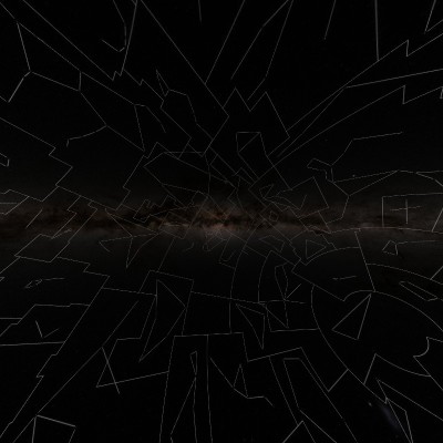
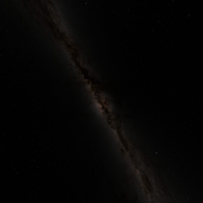
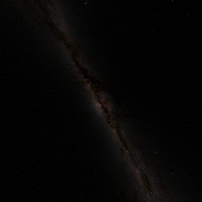
The Galactic Sky presents the heavens using the plane of the Milky Way Galaxy as its primary reference. In this view, the galactic equator forms the fundamental reference plane, while the star-rich disk of the Milky Way extends across the sky as a prominent band. The center of our galaxy lies in the direction of the constellation Sagittarius. The galactic view is particularly useful for understanding the structure of the Milky Way and the distribution of stars relative to the galactic plane. The 360° view allows you to explore the bright band of the Milky Way, the direction of the Galactic Center, and different regions of our galaxy as a continuous celestial environment.
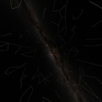
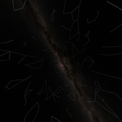
This view presents the constellations according to the galactic plane of the Milky Way. In the galactic coordinate system, the star-rich disk of the Milky Way becomes the principal reference. This makes it easier to understand the relationship between our galaxy and constellations located along its bright band, including Sagittarius, Scorpius, Aquila, Cygnus and Cassiopeia. Constellation figures and boundaries help identify stellar patterns, while the 360° view allows traditional constellation shapes and the large-scale structure of the Milky Way to be explored together on the same celestial sphere.
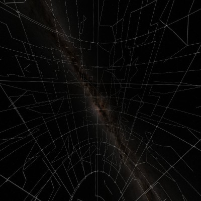
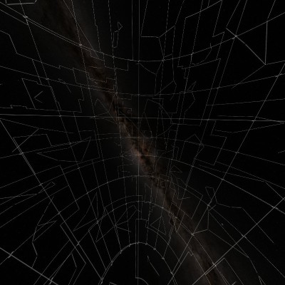
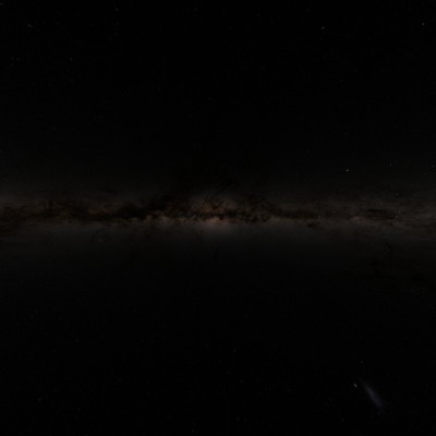
The Galactic Sky Atlas presents the stellar sky using the galactic coordinate system based on the structure of the Milky Way Galaxy. In this system, celestial positions are defined by galactic longitude and galactic latitude. The galactic equator follows the principal plane of the Milky Way, and the coordinate system uses the direction of the Galactic Center as one of its fundamental references. The 360° atlas view makes it possible to explore the dense stellar regions of the Milky Way, the direction of the Galactic Center, and the distribution of stars relative to the galactic plane.
The Ecliptic Sky is based on the ecliptic plane, the projection of Earth's orbital plane around the Sun onto the celestial sphere.As viewed from Earth, the Sun appears to travel along this path throughout the year. The apparent movements of the Moon and planets also occur largely within the region surrounding the ecliptic. The ecliptic also forms the astronomical basis of the traditional Zodiac region. This 360° view provides a way to explore the relationship between the orbital geometry of the Solar System and the surrounding stellar sky.
This view presents the constellations relative to the ecliptic, the apparent annual path of the Sun across Earth's sky. The traditional Zodiac is associated with the constellations Aries, Taurus, Gemini, Cancer, Leo, Virgo, Libra, Scorpius, Sagittarius, Capricornus, Aquarius and Pisces. Astronomically, however, the Sun's apparent path also passes through the official boundaries of Ophiuchus. Therefore, the astronomical ecliptic and the traditional twelve-sign astrological zodiac are related but distinct concepts. The 360° view allows the actual celestial positions of the zodiac constellations around the ecliptic to be explored and compared.
The Ecliptic Sky Atlas presents the celestial sphere using the ecliptic coordinate system, which is based on the plane of Earth's orbit around the Sun. Positions within this system are defined by ecliptic longitude and ecliptic latitude. It is particularly useful for describing and studying the positions of the Sun, Moon, planets and other celestial objects relative to the ecliptic plane. The 360° atlas view provides a visual way to explore the ecliptic, the zodiacal region, and the positions of stars relative to the fundamental orbital plane of the Solar System.
The Equatorial Sky presents the celestial sphere using the celestial equator, the projection of Earth's equator onto the sky, as its fundamental reference. Celestial objects are positioned using Right Ascension (RA) and Declination (Dec) coordinates. This is one of the principal coordinate systems used in astronomy to locate stars, galaxies and other celestial objects. The equatorial view can therefore be regarded as an astronomical “mapmaker's view of the sky.” Within the 360° environment, you can explore the celestial equator, celestial poles, the position of the Milky Way, and the distribution of stars within the equatorial coordinate system.
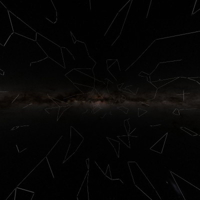
This view presents the stellar sky by combining the equatorial coordinate system with constellation figures and boundaries. The characteristic stellar patterns associated with constellations make them easier to recognize, while the equatorial coordinate system reveals their astronomical positions in Right Ascension (RA) and Declination (Dec).
Within the 360° view, you can explore the distribution of Ursa Major, Orion, Cassiopeia, Scorpius, Sagittarius and many other constellations across the celestial sphere.
The Equatorial Sky Atlas presents the starry sky using the astronomical coordinate grid of Right Ascension (RA) and Declination (Dec). Similar in function to longitude and latitude on Earth, these celestial coordinates allow astronomers to specify the positions of stars and other celestial objects precisely. The 360° atlas view provides an environment for exploring stellar positions, the celestial equator, the northern and southern celestial regions, and the coordinate structure of the sky in detail.
The star maps used in this interactive sky experience are based on the Deep Star Maps 2020 visualizations produced by NASA's Goddard Space Flight Center Scientific Visualization Studio. The maps were created using the positions, brightnesses and colors of approximately 1.7 billion stars. Major data sources include Gaia Data Release 2, Hipparcos-2 and Tycho-2, supplemented by the Yale Bright Star Catalog, UCAC3 and XHIP catalog data. The high-resolution astronomical mapping data produced by NASA has been adapted by 360TR into an interactive 360° spherical sky experience.
Source: NASA / Goddard Space Flight Center / Scientific Visualization Studio — Deep Star Maps 2020.
Similar places, nearby places, and related routes are listed here as modular panels.
Similar places, nearby places, and related routes are listed here as modular panels.
Travel plans that include this tour as a stop are listed here.
A token of thanks goes a long way for the team behind this tour.
Comments
0Sign in to leave a comment.
Sign inThe comments module is ready at the bottom. Visitor comments will appear here once the content is connected.